









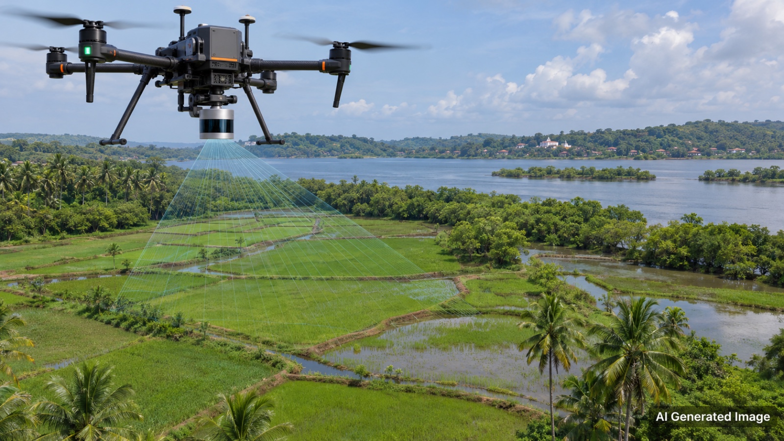
Goa Coastal Zone Management Authority (GCZMA) has invited Expressions of Interest (EOI) to empanel specialized agencies for mapping Khazan lands using UAV-based LiDAR technology. The pilot study will focus on Morombi-O-Pequeno village in Tiswadi taluka, undertaken in collaboration with the Khazan society and the Water Resources Department. The initiative aims to leverage high-resolution aerial scanning to accurately identify terrain contours and protect these vulnerable estuarine ecosystems.